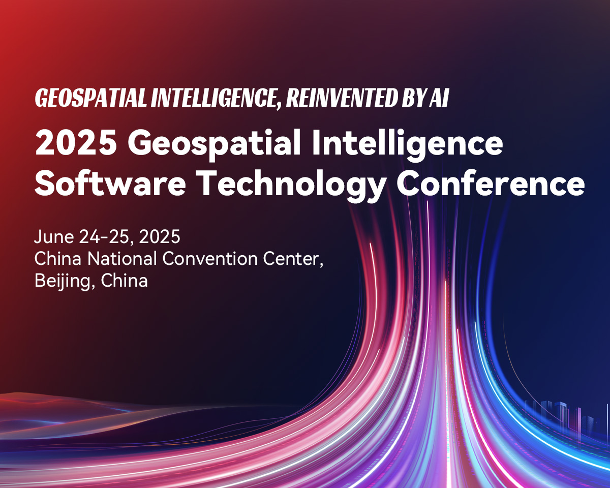
Highlights
GeoAI
01
Geospatial AI Agent
02
Large-scale Individualized 3D Models
03
SuperMap AI Foundation
04
Web3D Rendering
05
Land and Resource Solutions
06
Large AI Model Applications
07
Spatio-temporal Data
08
Geospatial Computing and Low-altitude Economy
09
Programme

Opening Ceremony
Keynote Speech
Panel Discussion on Cutting-edge Topics

Cloud-Edge-Terminal Integrated GIS Platform Software Technology Innovation
3D GIS Platform Software Technology Evolution
Advancements in Remote Sensing Platform Software Technology
GeoAI Platform Software Technology Innovation
Intelligent Transportation Ecosystem Development
Digital Transformation in Emergency Management & Disaster Risk Reduction
Digital Foundation and Urban Infrastructure Construction Safety and Operational Oversight
Geospatial intelligence for Low-altitude Economy Infrastructure
Intelligent Data Governance and Data Elements
Water Conservancy Digital Twin in the AI Era
Digital-Intelligent Twin: Driving Enterprise Digital Transformation
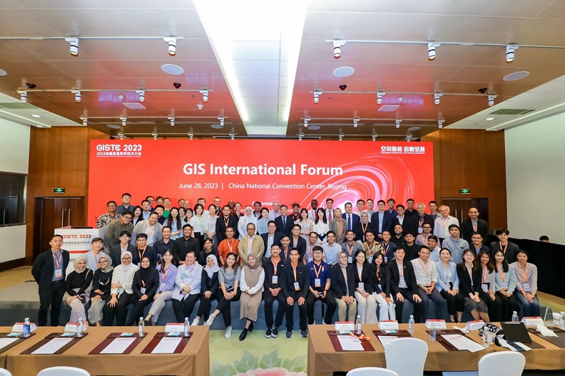
GIS International Forum
June 25GIS International Forum
25 June, 2025
Topic / Speaker
Host
Li Qinci & Chen Cheng, Business Development Manager of SuperMap International
Opening Speech
Empowering Big Data Analytic: Driving Digital Innovation through MD Analytic and SuperMap
Gs. Norjamaliah Binti Hussin, Senior Executive Digital Innovation of Map2u Sdn Bhd
AI & GIS for Smarter Bank Branch Management: The IBK Case Study
Youngjun Lee, VP of SPH
Award Ceremony
SuperMap GIS 2025, Innovative Breakthroughs in Spatial AI
Hu Chenpu, General Manager, Platform Solutions and Ecosystem Department, SuperMap International
SuperMap 3D GIS: The Engine Behind Smart Spatial Decisions
Chen Minge, Solutions Engineer, Platform Solutions and Ecosystem Department, SuperMap International
Development of a City Data Platform(CDP) for Nakhon Ratchasima Province, Thailand
Akkarawut Akkaneenirot, Project Manager of Korat Municipality
Smart City Planning Platform (SCPP) as a Catalyst for Sustainable Urban Development: Insights from Mahasarakham, Thailand
Tarawut Boonlua, Head of Research and Development Unit for Smart City (RDSC), Faculty of Architecture, Urban Design and Creative Arts, Mahasarakham University, Thailand
SuperMap GeoPortal: Data Fusion, Rapid Deployment & Scalable Ecosystem
Zhong Yang, Senior Product Developer, Cloud Development Team, SuperMap Platform Product Line
Coffee Break
From Hand-Drawing to AI-Mapping: Three Decades of China's Surveying Technology Evolution (1990-2025)
Chen Sujuan, General Manager of Fundamental R&D Center, Sunway Technology
AI for Remote Sensing in Saudi Arabian Housing and Agriculture
Ali Abdullah Aldosari, President of Saudi Geographical Society
Applications and Practices of AI Large Models in Land Management and Urban Planning
Wu Mengjie, Solutions Engineer of Applied Solutions Department, SuperMap International
SuperMap Cadastral Management Solutions with A Global Vision
Liao Songmei, Senior Solutions Engineer of Applied Solutions Department, SuperMap International

Experience cutting-edge technologies all in one place: AI Foundation & Intelligent Agents, New 3D GIS, Remote Sensing GIS Integration, Cloud Native GIS, Desktop GIS...
Explore application solutions across industries all in one place: Land and Resources, Urban Planning, Surveying & Mapping, Housing & Construction, Big Data, Low-altitude Economy, Airports, Water Conservancy, Meteorology, Industrial Parks, Energy, Enterprise SaaS
Witness AI value all in one place: AI applications in Natural Resources, Remote Sensing, Low-altitude, innovation applications featuring Intelligent Digital Agent Services, AI-Generated Planning Blueprints, Intelligent System Diagnostics
Organizing Structure


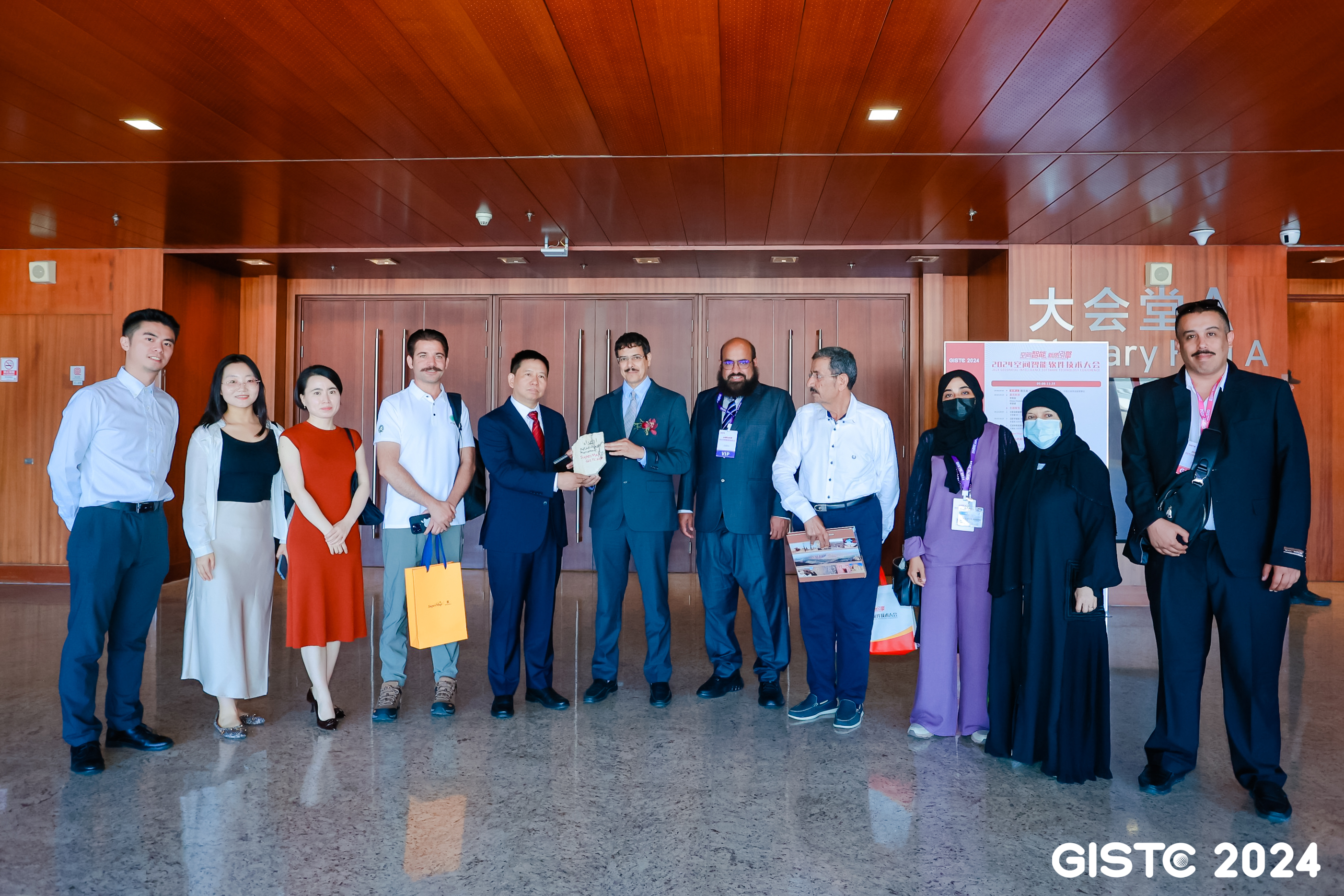
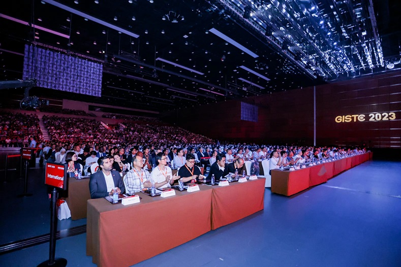
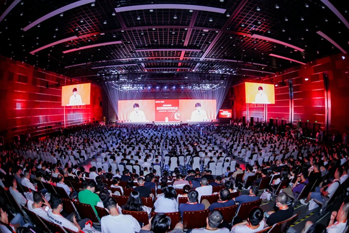
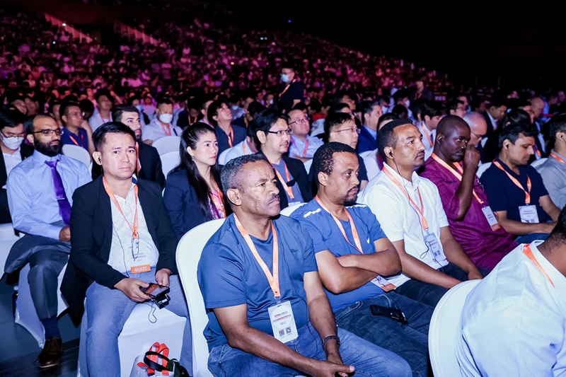
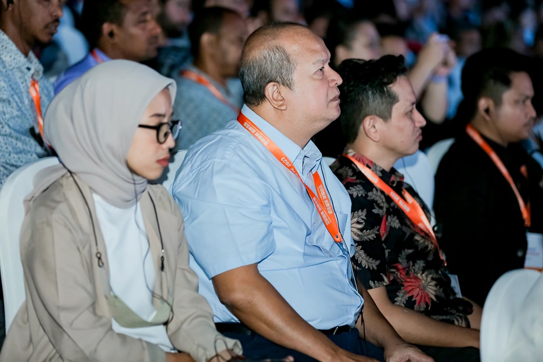
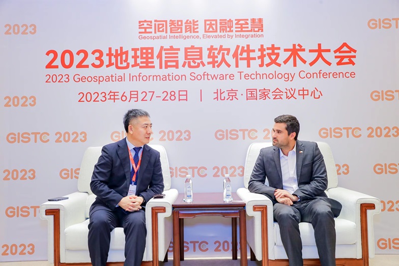
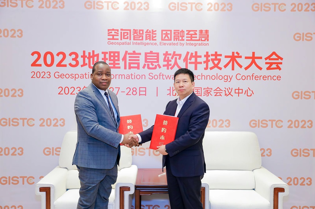
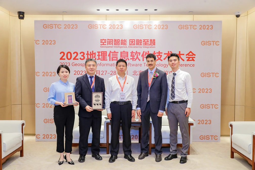
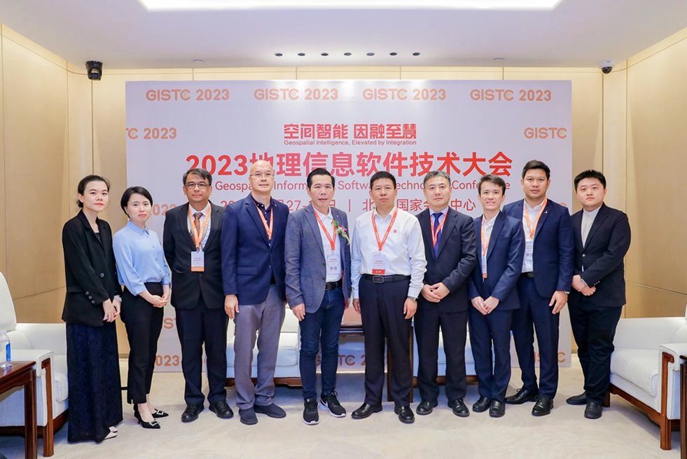
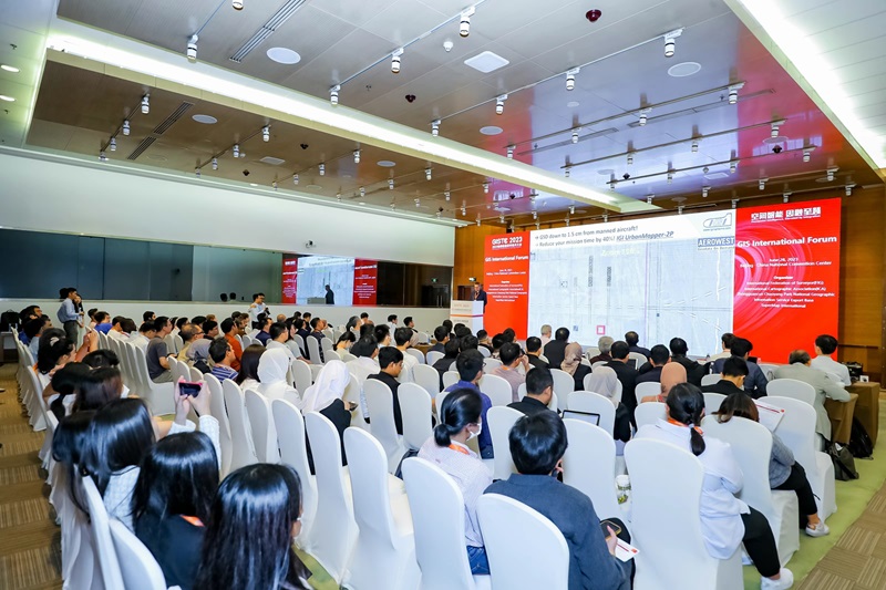
Photo Gallery


Venue
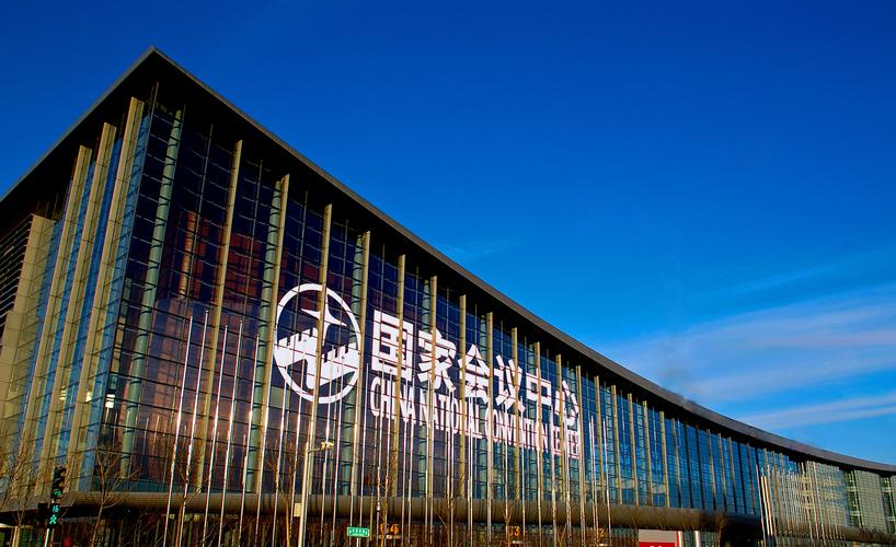
 No.8 Tianchen East Road, Chaoyang District, Beijing, China