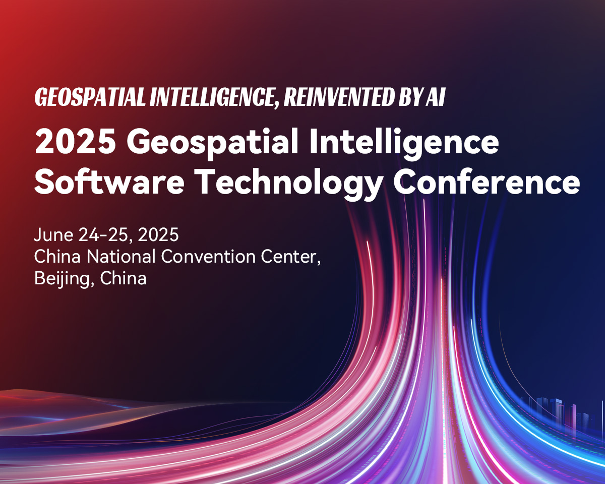
Highlights
GeoAI
01
Geospatial AI Agent
02
Large-scale Individualized 3D Models
03
SuperMap AI Foundation
04
Web3D Rendering
05
Land and Resource Solutions
06
Large AI Model Applications
07
Spatio-temporal Data
08
Geospatial Computing and Low-altitude Economy
09
Programme

Opening Ceremony
Keynote Speech
Panel Discussion on Cutting-edge Topics

Cloud-Edge-Terminal Integrated GIS Platform Software Technology Innovation
3D GIS Platform Software Technology Evolution
Advancements in Remote Sensing Platform Software Technology
GeoAI Platform Software Technology Innovation
Intelligent Transportation Ecosystem Development
Digital Transformation in Emergency Management & Disaster Risk Reduction
Digital Foundation and Urban Infrastructure Construction Safety and Operational Oversight
Geospatial intelligence for Low-altitude Economy Infrastructure
Intelligent Data Governance and Data Elements
Water Conservancy Digital Twin in the AI Era
Digital-Intelligent Twin: Driving Enterprise Digital Transformation
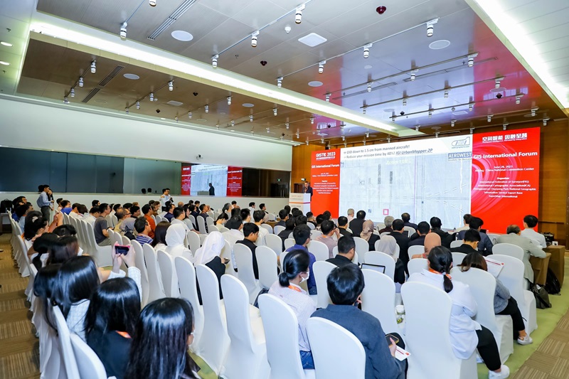
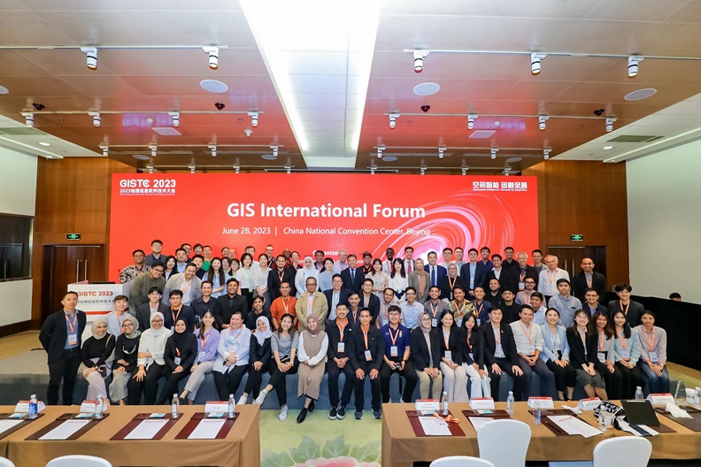
GIS International Forum

Experience cutting-edge technologies all in one place: AI Foundation & Intelligent Agents, New 3D GIS, Remote Sensing GIS Integration, Cloud Native GIS, Desktop GIS...
Explore application solutions across industries all in one place: Land and Resources, Urban Planning, Surveying & Mapping, Housing & Construction, Big Data, Low-altitude Economy, Airports, Water Conservancy, Meteorology, Industrial Parks, Energy, Enterprise SaaS
Witness AI value all in one place: AI applications in Natural Resources, Remote Sensing, Low-altitude, innovation applications featuring Intelligent Digital Agent Services, AI-Generated Planning Blueprints, Intelligent System Diagnostics
Organizing Structure


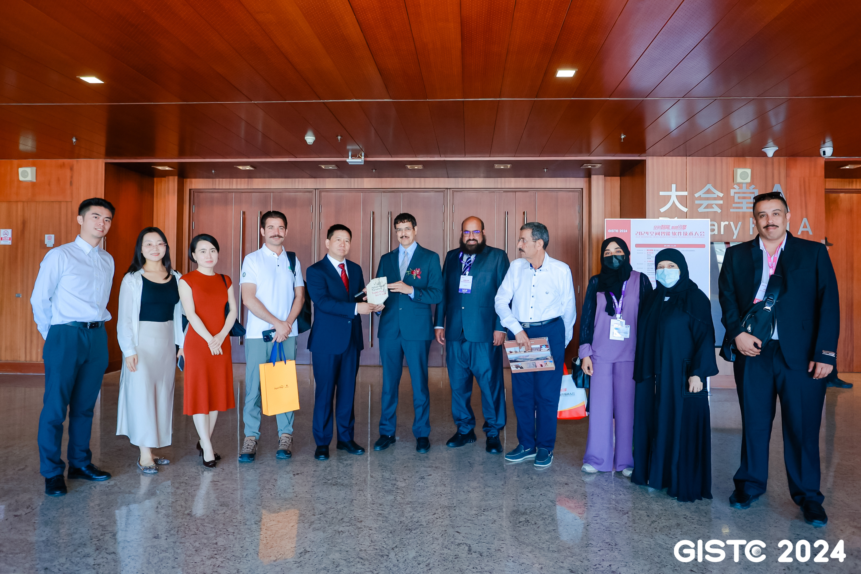
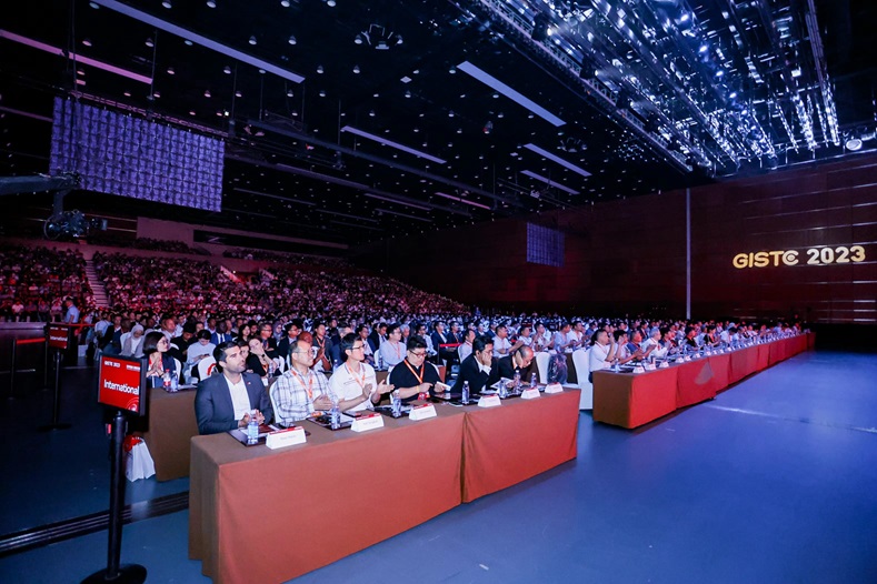
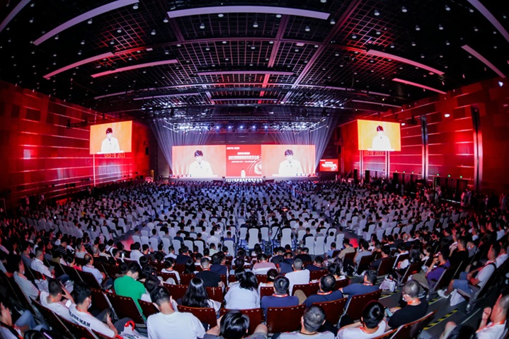
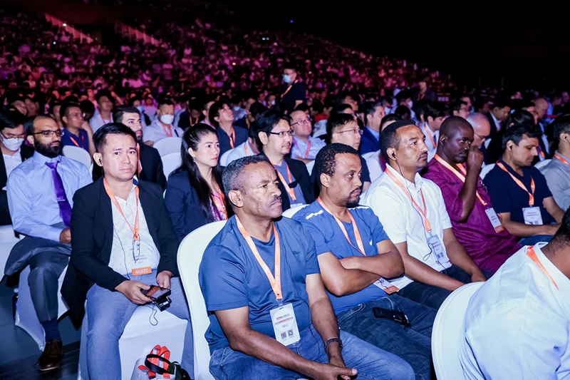
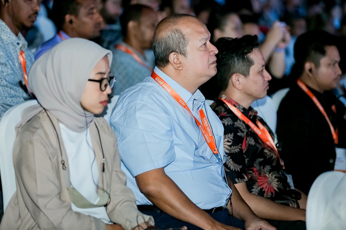
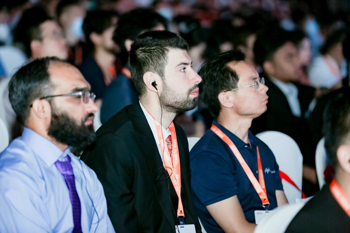
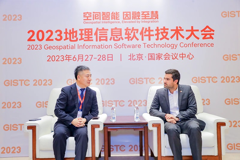
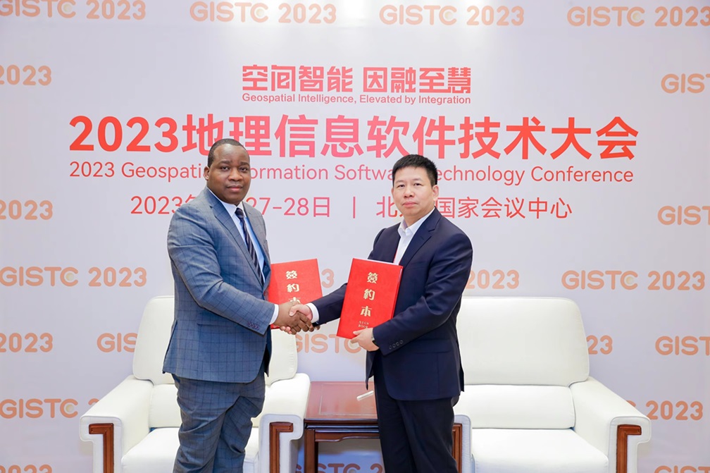
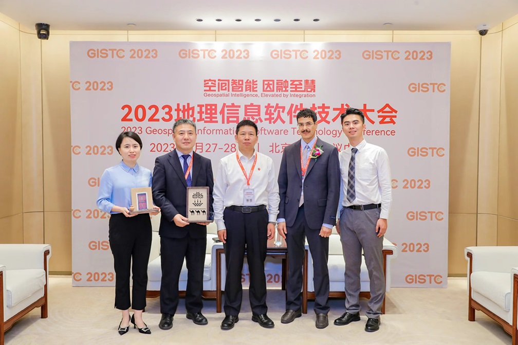
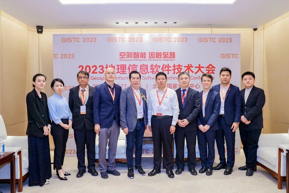
Photo Gallery

Venue
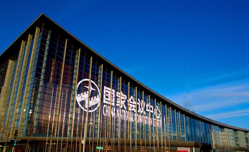
 No.8 Tianchen East Road, Chaoyang District, Beijing, China