


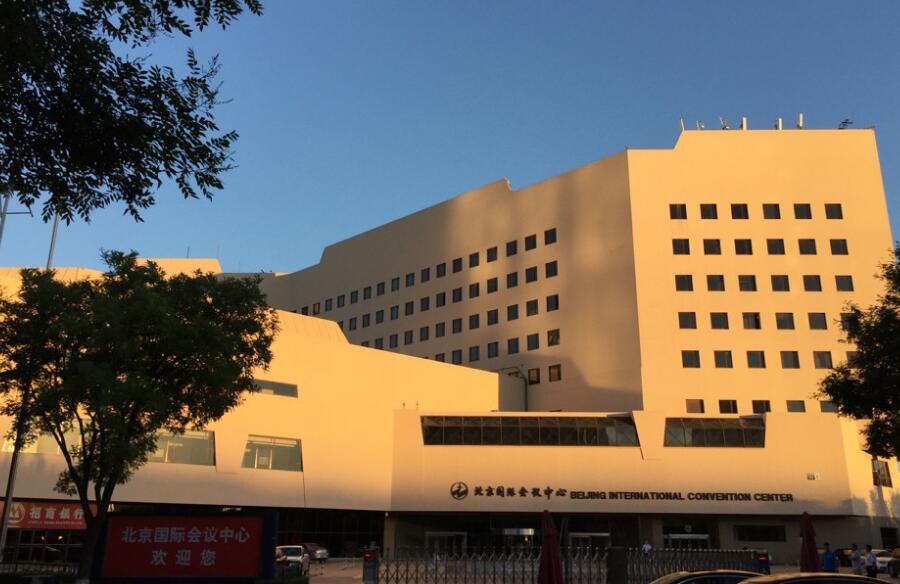
The past several months have brought serious changes and severe restrictions for all of us. As COVID-19 continues to spread, lots of trade fairs have been canceled or postponed worldwide. In order to meet the needs of epidemic prevention and control, from 7 to 18 September, the Organizing Committee of GIS Software Technology Conference 2020 will hold plenary conference at the Beijing International Convention Center, 5 themed forum in 5 China core cities and 5 GIS international forums for different regions (in English, Spanish, French, Russian, Japanese) online. With the theme of "Geo-intelligence Connecting the Future", the conference focuses on the integration and innovation of geographic information technology and Blockchain, Big Data, Artificial Intelligence and other technologies, shares the latest developments in GIS software, and exchanges best practices in GIS applications.
The 5 GIS international forums will be held from 14 to 18 September, we are sincerely to invite you to join GIS international forums.
 14-18
September,2020
14-18
September,2020 

 14 September, 7:00-11:00 (UTC+0), 15:00-19:00 (UTC+8)
In the era of blockchain, artificial intelligence, big data and cloud native, what challenges do traditional GIS face? How does distributed GIS to respond? What is the progress of blockchain+GIS? Dr. Song Guanfu will make report on it.
What new experiences do AR GIS bring to us? What are the latest trends of big data GIS and AI GIS? How to empower digital twins with 3D GIS? This topic will share the latest technology and product innovations in SuperMap GIS 10i(2020).
SPH introduces PLAS(Pipeline Analysis Solution) as an implementation tool to achieve "Digital Transformation", the main keyword of the future utility industry (especially in the gas). PLAS using SuperMap iObjects can utilize elaborate pipeline analysis and simulation functions for modelling through accurate management and analysis of city gas facility data.
The presentation looks at available technology, best-practices and a practical approach, towards building capacity for IAM. All aspects of IAM, are dealt with in a coherent and integrated manner leading to effective Business Planning.
Many cities in Thailand are demanding to implement their city smarter, central and local government are finding best solutions for creating practical smart city for them. Let’s see how to establish the first stage for the case of Smart City in Thailand, by creating data center for one city, all collected data will be integrated on SuperMap.
Water is one of the most important resource in society and human life, so the management of water resource is requiring for a smarter solution. Let’s study how to collect data from water with IoT technology and access the data into SuperMap Cloud Native GIS platform with the assist from big data technology.
Now people is able to use SuperMap Mobile and Cloud Based Survey System on mobile phones to do data surveying by typing, photoing, voice and video recording. The data collected will be directly shared to the cloud center via 5G, Cable or Bluetooth. This increased the data collecting efficiency in the smart city environment which is built on data.
Geospatial education will go towards developing a workforce that is able to use geographic information in order to solve local, national, and global problems. GIS talents today have to be professionals tomorrow able to understand the complexities of many of the spatial problems that face our world, analyze, and use advanced GIS tools for problem solving. Five key aspects are important for the success of GIS projects in Serbia. These are systematic approach, sustainability of the projects, political support, resources savings and sharing. In each and every of the mentioned aspects education is a crucial link. SuperMap education program in Serbia provides strong support for students and young professionals helping them to develop both technical skills and critical spatial thinking.
Let's hear the successful story of PT Bhumivarta with SuperMap for providing the BIG Data Spatial and Infrastructure at "Badan Siber dan Sandi Negara in Indonesia". Last but not least, there will be a glimpse of their future plan for providing LokasiMaps for Indonesia.
Artificial Intelligence (AI) is one of the technilogies making great impact due to it's future possibilities in the whole construction activity. PT Encona Engineering do object detection for all construction activities along tracks of fast train Jakarta-Bandung for supporting KCIC (Fast Train Indonesia China). Let's know more the details about how SuperMap provides AI for Helping PT Encona Engineering.
14e Septembre, 13:00-15:30 (UTC+0)À cette ère des blockchains, de l'Intelligence Artificielle (IA), du Big Data et du natif Cloud, quels sont les défis auxquels les SIG traditionnels sont confrontés? Quel est l’apport des SIG distribués? Quelle est la progression de la combinaison blockchain + SIG? Le Dr Song Guanfu fera un aperçu général sur ce point.
Le BIM a permis de familiariser les collectivités et les professionnels de l'aménagement à l'intérêt et aux enjeux de la maquette numérique. Ces acteurs du territoire cherchent désormais à étendre cette démarche BIM à l'échelle de la ville, mais cette échelle urbaine implique l'agrégation de données hétérogènes très différentes allant du BIM au données SIG en passant par les actifs numériques de la ville (IOT).
Découvrez comment l'agrégation de toutes données hétérogènes dans le logiciel LandSim3D permet de développer des outils de pilotage performants de la ville et des projets urbains.
Le BIM est utilisé pour intégrer et gérer les informations du cycle de vie complet des bâtiments, tandis que le SIG lui pour intégrer et gérer les informations de l'environnement extérieur des bâtiments. Le BIM et le SIG ont une relation de complémentarité naturelle.
Pendant cette présentation nous ferons une introduction de l'application du SIG dans la construction, les opérations BIM et la gestion de la maintenance. SuperMap utilise la technologie 3D, l'Internet des Objets (IoT) pour intégrer les données BIM avec des données multi-sources et utilise également l'analyse spatiale pour analyser les données intégrées, qui peuvent être largement utiles dans la gestion de la construction des routes, dans l'urbanisme, les villes intelligentes et autres domaines.
Quelles nouvelles expériences nous apportent la RA (Réalité Augmenté) et les SIG? Quelles sont les dernières tendances du Big Data + SIG et de IA + SIG? Comment renforcer les capacités des jumeaux numériques avec les SIG 3D? Ce sujet mettra au clair les dernières technologies et innovations des produits SuperMap GIS 10i (2020).
Dans cette présentation nous aborderons trois principaux points dont:
1. La coopération entre SuperMap et le Centre Universitaire de Recherche et d'Application en Télédétection en Côte d'Ivoire.
2. Comment SuperMap accompagne les Universités/Instituts de formation à améliorer l'enseignement dans les filières liées au SIG.
3. Et enfin nous parlerons des réalisations de SuperMap pendant ces dernières années et de ces projets dans le domaine de l'éducation.
Pour des raisons de surveillance sont nombreuses, la quantité de données est importante, la structure des données est complexe et la gestion est difficile. Par conséquent, en réponse aux problèmes lies aux océans et aux ressources, SuperMap propose des solutions adaptées et fournit de nouvelles méthodes. Il joue un rôle important dans la division des zones maritimes, la planification du littoral, le développement, la gestion des ressources halieutiques, la surveillance et la protection du milieu maritime.
14 de septiembre, 18:00-22:50 (UTC-5)En blockchain, inteligencia artificial, big data y nativos en la nube, ¿A qué desafíos se enfrentan los SIG tradicionales? ¿Cómo responde el SIG distribuido? ¿Cuál es el progreso de blockchain + GIS? Dr. Song Guanfu hará un informe al respecto.
¿Qué nuevas experiencias nos aporta AR GIS? ¿Cuáles son las últimas tendencias de Big Data GIS y AI GIS? ¿Cómo empoderar a los gemelos digitales con 3D GIS? Este tema compartirá las últimas innovaciones en tecnología y productos en SuperMap GIS 10i (2020).
De BIM a CIM, ¿cuáles son los beneficios para una ciudad? Se explicará la definición y el procesamiento para la construcción de una ciudad inteligente; la unión de nuevas tecnologías como IoT, GIS, BIM y sus aplicaciones en CIM. Así como las ventajas y desafíos en el uso de modelos para la gestión pública en las ciudades brasileñas.
El uso de geotecnologías como aplicación de SuperMAp, ha contribuido significativamente al avance de la evaluación y cuantificación en números del proceso de deforestación con la necesidad de integración de plataformas en los biomas del Pantanal, Cerrado y Amazonia, y también ayuda en la identificación de factores que contribuyen a la actual estado de interacción con universidades y centros de investigación en Brasil. A partir de esta afirmación, el objetivo del panel es realizar un análisis del monitoreo de la deforestación en los principales biomas utilizando geotecnologías que integran GIS a SuperMap. Con el uso de imágenes satelitales TM Landsat 5, fue posible realizar evaluaciones ambientales, destacando la deforestación con el fin de obtener más información sobre la situación real de la cobertura vegetal de los biomas en un período determinado. El software SuperMap permitirá, entre otros, monitorear la deforestación mediante la vectorización de polígonos en imágenes de satélite. Y a partir de la limitación y cuantificación de áreas antropizadas, se hacen mapas, cálculos y algunas estadísticas (big data) con el fin de establecer, identificar y visualizar espacialmente la distribución de la vegetación de supresión de biomas.
El conflicto armado de Colombia tiene más de sesenta años, los espacios geográficos donde la población resulto afectada han sido representados histórica, objetiva y cartográficamente con datos cuantitativos de acuerdo a las diferentes variables de causas, actos y consecuencias.
De acuerdo con el proyecto de investigación titulado “Análisis de la cantidad y el estado de las vías terciarias en Colombia y la oportunidad de la ingeniería civil para su construcción y mantenimiento”, se conforma la Veeduría Ciudadana de la red de vías terciarias colombianas a nivel nacional que ha venido trabajando a fin de verificar, controlar y observar lo que el gobierno nacional ha llevado a cabo en pro del desarrollo de la red vial terciaria, partiendo del hecho que estas vías representa aproximadamente el 70% de la red vial del país y su desarrollo impacta en lo social, económico y cultural.
Hoy en día, todos los servicios que utilizamos se encuentran gestionados por SIG, de ahí que el ser humano se encuentra cada vez más relacionado con la Geotecnología, identifica claramente su utilidad, su necesidad e importancia. En dicho sentido, se puede decir que la Geotecnología gestionando los servicios que utilizamos, contribuye enormemente en el mejoramiento de la calidad de vida del ciudadano.
Aplicación de G.I.S. en la toma de Decisiones
15 сентября, 12:00-14:30 (UTC+3), 15:00-17:30 (UTC+6)To fully join GIS International Forum, please follow the instructions:
 or the link below: http://www.gistc.com/en/gtc2020/online.asp
Pour joindre le Forum International SIG de SuperMap en ligne, veuillez suivre les instructions suivantes :
ou en suivant le lien ou ci-dessous :
https://zoom.com.cn/webinar/register/WN_Wz-GKYnqTUKaJ-vt8dNq8Q
Ou encore avec l’ID de la réunion : 638 4725 8704Para unirse por completo al Foro SIG Internacional, siga las instrucciones:
o en el enlace de abajo:
https://zoom.com.cn/webinar/register/WN_c9953EBOQKyWVU7diahCbw
O con ID de la reunión: 673 5693 5547Чтобы полностью присоединиться к ГИС Международному форуму, пожалуйста, следуйте инструкциям:
или ссылку ниже:
https://zoom.com.cn/webinar/register/WN_GvBVS1JHQy6Je3lB_UEwBw
Или с помощью идентификатора встречи: 661 5174 3983• Meet more domestic and international organizations and governments departments.
• Meet industrial giants and research institutions.
• Talk with experts in the industry.
• Collection of the latest cutting edge technologies and application cases.
• Integration of GIS and block chain, AI, big data, BIM, digital twin, cloud native, etc.
• New infrastructure of geo-intelligence service
• Application upgrading and industrial growth under new technologies
• Long term online exhibition from 7 September
• A unique technology and application performance feast for the audience
• Live broadcast of forums in 5 languages
.jpg)
Exhibitior (BIONATICS)
.jpg)
Exhibitor (Increment-P)
.jpg)
Exhibitor (nFrames)
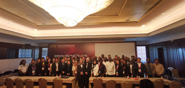
Group Photo of International Forum
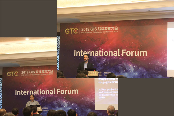
International Forum
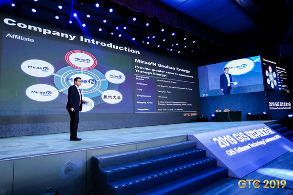
Keynote Speech
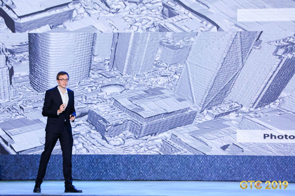
Keynote Speech
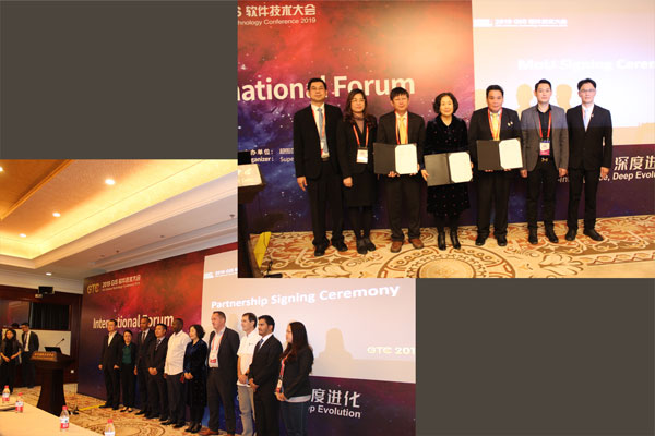
Partnership Signing Ceremony
Plenary Conference
Plenary Conference
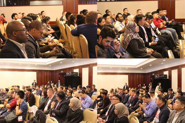
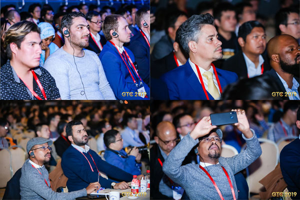
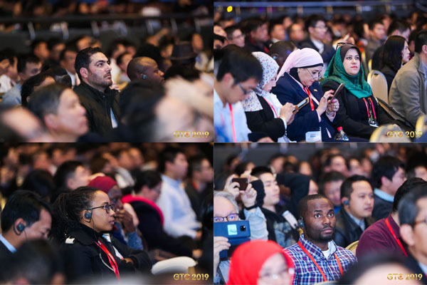
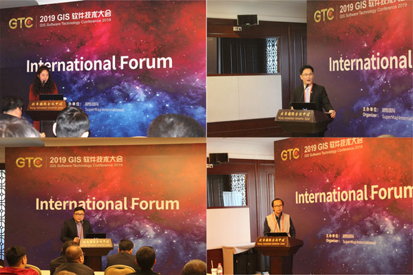
Speakers in International Forum
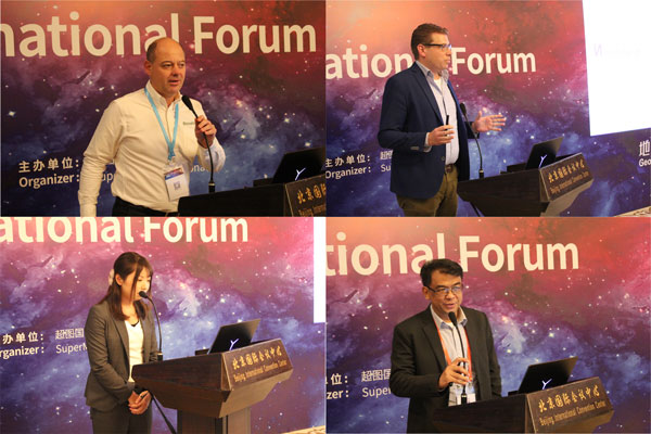
Speakers in International Forum
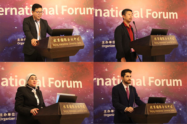
Speakers in International Forum
Speakers in International Forum


 No.8 Beichen East Road, Chaoyang District,
Beijing
No.8 Beichen East Road, Chaoyang District,
Beijing