Advisory Committee of Consultation and Research Center of the Ministry of Natural Resources, Vice President of China Land Science Society

Director of Surveying and Mapping Development Research Center of the Ministry of Natural Resources

Secretary-General of the Geographical Society of China, Dean of the School of Geographic Sciences at East China Normal University

Vice President of Computing Product Line, Huawei

Academician of the International Eurasian Academy of Sciences, Professor at Nanjing University

Executive Director of the Moganshan Geospatial Information Laboratory, Chief Engineer of the National Geomatics Center of China

Deputy Director of the Cyberspace Administration of the Ministry of Natural Resources, Deputy Director and Chief Engineer of the Information Center

Deputy Director of the National Climate Centre

Chief Expert of the Beijing International Data Exchange

Chief Engineer and Vice President of the Natural Resources, Housing and Urban-Rural Development and Big Data Business Line, SuperMap
New Technologies in GIS Platform Software
New Technologies in Remote Sensing Software
Digital Governance of Natural Resources
3D Real Scene China and New Fundamental Surveying and Mapping
Planning, Formulation, and Implementation for National Territorial Spatial Governance
CIM and Digital Housing and Urban-Rural Development
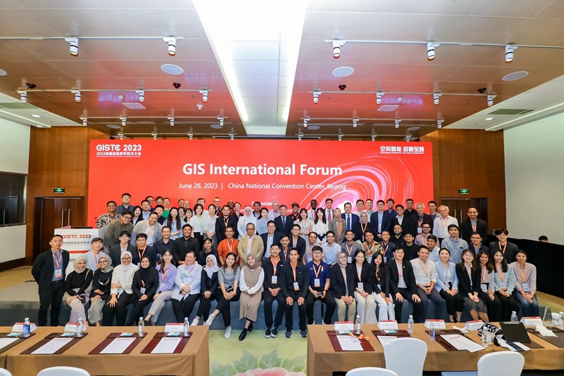
Data Governance and Data Element Services GlS International Forum
Water Conservancy Digital Twins and Smart Water Conservancy
Digital Twin Park and Enterprise Digitization
Transportation Informatization
Informatization of Emergency Response and Disaster Mitigation
"GIS + UAVs" and Low Altitude Economy
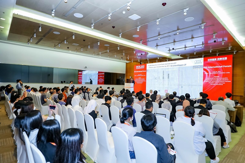
GIS International Forum
26 June, 2024
Topic / Speaker
Wang Tao,Chair of the ICA Commission on Education and Training, Professor of the Capital Normal University
Wang Haitao,Vice President of SuperMap, President of SuperMap International
Diane Dumashie,President of International Federation of Surveyors (FIG)
Yan Qin,President of the Chinese Academy of Surveying and Mapping
Li Meng,General Manager of 3D R&D Team of the Platform Product Line, SuperMap
Kyungsoo Yoo (South Korea),Director of Sales, SPH
Kevin Martin N Cornejo (Philippines),Business Development of SuperMap Philippines
Municipal Assessor,Municipality of Angat
Wathinee Kaewzaikird (Thailand),COO of Piramid Solutions
Tarawut Boonlua (Thailand),Head of Research and Development Unit for Smart City (RDSC), Faculty of Architecture, Urban Design and Creative Arts Mahasarakham University, Thailand
Wang Tao,Chair of the ICA Commission on Education and Training, Professor of the Capital Normal University
Hu Chenpu,General Manager of Product Engineer, SuperMap International
Bakhtiyor Pulatov (Uzbekistan),Director of Research Institute of Environment and Nature Conservation Technologies (RIENCT)
Reginald Okumu (Kenya),Commissioner of Kenya Land Commission
Vincent Imala (Kenya),Deputy Director of DRSRS
Abdul Wafey bin Mohd Aripin (Malaysia),GIS Business Consultant of SmartMap Insights Sdn Bhd
Fabian Surya Pramudya (Indonesia),Assistant Professor of Mathematics Department, The School of Computer Science
Zeliko Cviietinovič (Serbia),Co-founder of Mapsoft
Roberto Luigui Gómez Sánchez (Mexico),Technical Director of Soluciones Sig
Advanced Technologies
One-Stop Exeperience
Remote Sensing GIS, New 3D GIS, Big Data GIS, AI GIS, Video GIS, Distributed GIS, Cross-Platform GIS, Game Engine + GIS, GIS + AR/VR/XR, GIS + UAVs......
Application Cases and Solutions
One-Stop Sensory
Cutting-edge applications and solutions for land, planning, surveying and mapping, housing and urban and rural area construction, municipal administration, design, transportation, water, emergency response, military defense, airport, energy, park, enterprise SaaS, etc.
GIS Ecology
One-Stop Sensory
Extensive coverage of upstream and downstream enterprises, renowned IT companies, software and hardware manufacturers in the GIS ecosystem.
How can the integration of AI large-scale models, GIS, and big data elevate value, foster new models, and empower industries in their digital transformation? What new perspectives and approaches will academic experts and scholars bring to the table?
How to advance the digitization of natural resources to realize the transforamtion from "information-based" management to "digitally-driven" governance? What fresh perspectives will department leaders bring?
The remote sensing and GIS integration technology was created last year, how can it be further integrated with cloud-native technology to unleash computational power and add to productive forces? What are the latest developments in data processing, information interpretation, and industry applications?
What new breakthroughs can be expected in terms of intelligence and visualization from the 3D GIS technology that has already been upgraded?
How to fully leverage the achievements of major initiatives such as 3D Real Scene China to better and more profoundly serve multiple domains of the national economy and social development?
How to leverage facilities such as CIM platforms to deepen the integration of information systems in the housing and urban and rural area consrtuction industry and create a unified digital system?
How can geographic information enterprises engage in the data element industry? How can they leverage the technological advantages of geospatial intelligence to maximize the "(geospatial information × data elements) ×" effect?
How to build a comprehensive business application system for forecast and alarm in water conservancy through the construction of digital twins?
How to seize the opportunities presented by geospatial intelligence, digital twins, and other technologies to accelerate enterprise digitization and achieve high-quality development? What are some typical practices in areas such as industrial parks, civil aviation, and energy?
![]()


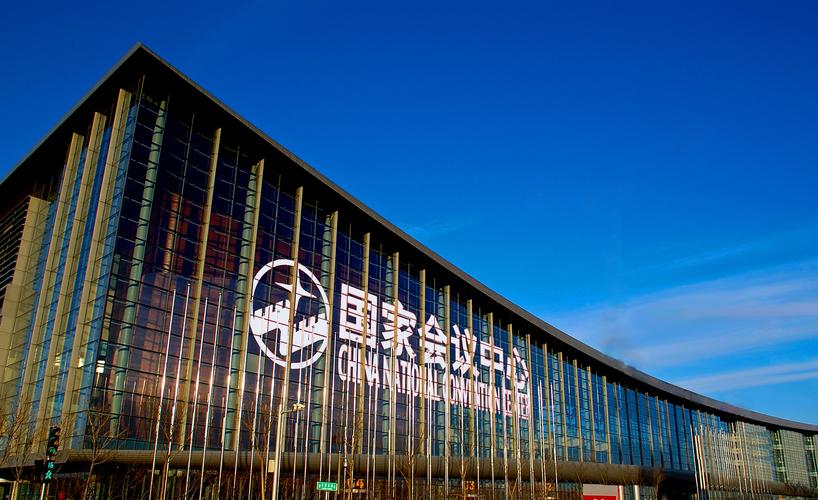


 No.8 Tianchen East Road, Chaoyang District, Beijing, China